
Cinematic Drone Aerial Filming
Sanju Kava Films delivers FPV cinematic drone footage with certified pilots, 4K/8K aerial coverage, and GPS-guided flight paths.
Our Drone Showreel
Explore cinematic FPV flights, precise construction mappings, and high-altitude sweeps captured in immense 4K detail.
Aerial Construction Survey
Centimeter-level precision site tracking and mapping drone flight.
Collaborated With
Range of Drone Video Services
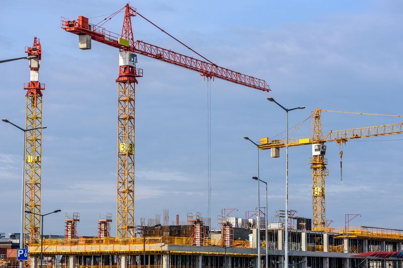
Bird-Eye Progress Tracking
Construction Progress Filming
Capture high-angle aerial views of your construction site, providing a detailed visual record that helps project managers track milestones and share updates with stakeholders.

Cinematic Property Showcase
Real Estate FPV Filming
Drone and FPV filming brings residential and commercial properties to life by highlighting architectural features, site layouts, and surrounding landscapes.
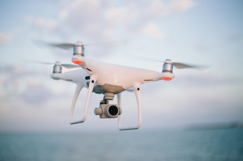
Broadcast-Quality Aerials
Media Drone Filming
Professional drone cinematography for film, television, and digital media, combining FPV techniques and stabilized flights for immersive, broadcast-quality aerial shots.
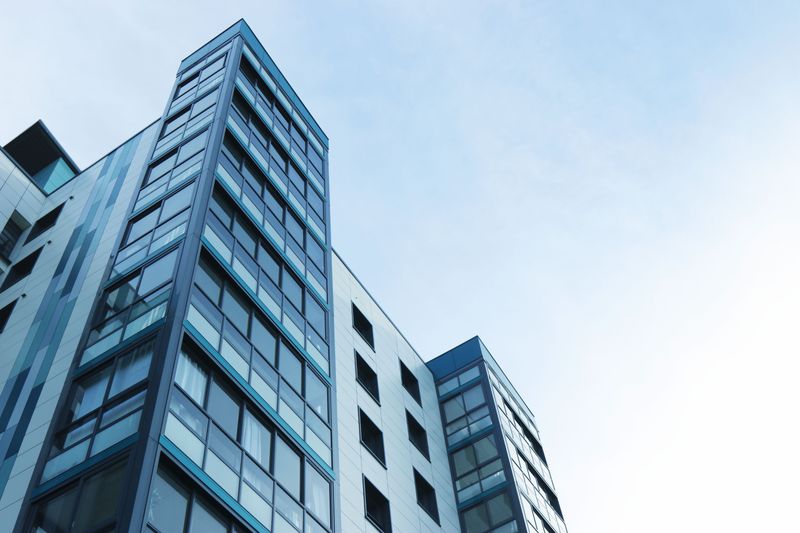
Industrial Aerial Inspection
Oil & Gas Drone Filming
Drone services supporting oil and gas operations with aerial inspections, flare stack monitoring, and pipeline route surveys for improved safety and operational efficiency.
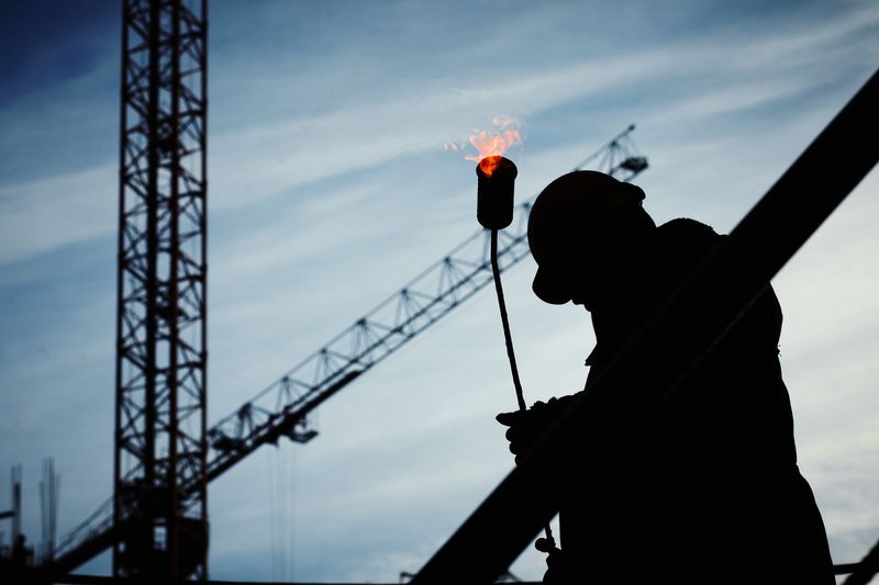
Dynamic Crowd Perspectives
Event Drone Filming
Capture concerts, festivals, and events with dynamic aerial perspectives that showcase crowd energy, stage setups, and venue layouts from unique vantage points.
Transforming Businesses Across Industries
Highlight properties, capture milestones, and showcase progress with stunning aerial visuals through expert drone services for real estate, emphasizing scale, location, and precision for stronger client trust and impactful promotions.
How We Execute Drone Missions
Pre-Flight Planning & Permits
We coordinate with you to understand project objectives, define flight zones, secure necessary airspace clearances and regulatory permits, and prepare a detailed shot plan.
Site Survey & Risk Assessment
Our certified pilots conduct a thorough pre-flight site survey to identify hazards, check weather conditions, set up ground control stations, and calibrate equipment.
Flight Execution & Filming
GPS-guided waypoint missions and FPV cinematic flights are executed with redundant safety systems. Dual-operator mode ensures perfect framing and smooth flight paths.
Post-Production & Delivery
Raw 4K/8K footage is processed with professional color grading, stabilization, and editorial assembly. Final deliverables are provided in your required format and resolution.
Drone Technology & Specs
Flight Controller
DJI O3+ / A3 Pro
Camera System
8K ProRes RAW
GPS Navigation
RTK Multi-GNSS
Max Wind Speed
38 km/h Rated
Safety Systems
ADS-B / APAS 5.0
Transmission
O3+ Enterprise
Plan Your Aerial FPV Flight
Inquire for DGCA-compliant commercial aerial shoots, cinematic real estate drone flights, and high-altitude industrial mappings.
Get in Touch – Let's Create Something Amazing!
Sanju Kava Films Studio
312, Imperial Arc, Waghawadi Road, Bhavnagar, Gujarat 364001
Let's Connect
Direct inquiry to Filmmaker Sanju Kava & Studio Team
Sanju Kava Films StudioHQ
21.7570°N, 72.1445°E312, Imperial Arc, Waghawadi Road, Bhavnagar, Gujarat 364001